Operational Planning
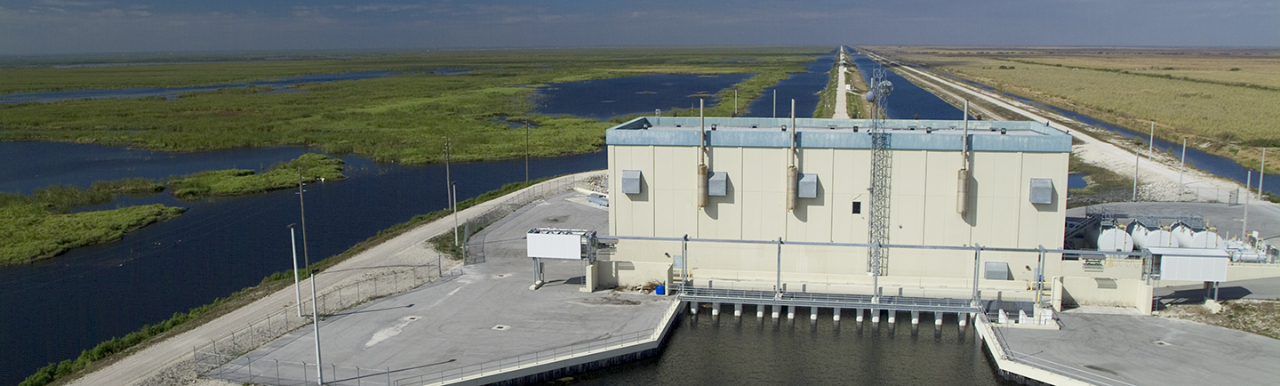
The South Florida Water Management District operates one of the largest regional water management systems in the world. With more than 2,175 miles of canals, 2,130 miles of levees/berms, 98 pump stations, more than 936 water control structures, 620 project culverts, and around 3,537 hydrological monitoring stations at more than 687 flow sites, including 201 rain gauges and 22 weather stations, the District actively operates and maintains the water management system to protect regional water supplies and provide flood control for more than 9 million people – plus the environment, agriculture, businesses and visitors – in South Florida. Weather extremes, ranging from droughts to hurricanes, can dramatically affect South Florida's water supply and flood protection actions.
Engineers, meteorologists and water managers monitor weather and water levels 24 hours a day. They use data and computer models to determine optimal operation of the hundreds of water control structures throughout the system.
Operational Planning includes the review and development of operating protocols and plans, coordination with District groups and the U.S. Army Corps of Engineers regarding Operating Manual review and development. Operational Planning uses the current state of the system (Lake Okeechobee levels and groundwater levels) as input to the South Florida Water Management Model (SFWMM). A suite of graphics are produced for the decision makers to analyze. The application involves the investigation of potential areas of flexibility in the South Florida Water Management District water control system operational guidelines and federal regulation water level schedules. The objective is to improve the water resource evaluation tools available to water managers to develop a comprehensive set of operational performance measures and to provide a forum for public input to operations.
Related Operational Reports
- Tamiami Trail Flow Formula Reports
- Initial Conditions for the Current Month [PDF]
- Climatic Variability CPC Outlook for the Current Month [PDF]
- U.S. Army Corps of Engineers Lake Okeechobee Operations
- Projection Figure for the Next 2 months [PDF]
- Lake Okeechobee Hydrologic Conditions (LONIN)
- Annotated Lake Okeechobee Hydrograph [PDF]
- Everglades STA Weekly Performance Summary [PDF] (updated weekly)
- Water Depth Assessment Tool (WDAT)
- U.S. Army Corps of Engineers Lake Okeechobee Water Report
- WCA-3A Shark River Reports (until 09/07/2020)
Archived Reports
Position Analysis
Position Analysis is a special form of risk analysis evaluated from the "present position" of the system. Its purpose is the evaluation of water resources systems and the risks associated with operational decisions (Hirsh 1978; Smith et al., 1992). This evaluation is accomplished by estimating the probability distribution function of variables related to the water resources system, conditional on the current or a specified state of the system.
Interpreting the Quantile Graphics Produced by the Position Analysis Simulation
SFWMD produces quantile graphics for several significant water bodies, canals and gauge locations. The lines can also be called "iso-percentile lines". These graphics represent a statistical summary of the simulated stages for a given location. They provide the probability of the stage being below a given value, for every day of the year, based on a current initial stage and the rainfall regime experienced by that feature each year for the 52-year simulation period, running 365 days from initialization. For instance, for all the stages shown on the 80% line, the probability of being below that stage is 80%, while the probability of being above is 20%. The 50th percentile is the median stage each day, thus half the years on that day were above that value and half were below. One shouldn't expect that a given iso-percentile line comes from a single simulated year. They are usually formed with values coming from different years. This provides a useful probabilistic indication of where the stage level could go. It is reasonable to accept that above-average rainfall at a given location will lead to higher than median stages in that area, but there is no one-to-one relationship between rainfall and the stage values. Other factors are involved, not least of which is the management criteria for moving water through the system.
Conditional Position Analysis
The above Position Analysis (also known as Dynamic Position Analysis) is based on 52 years of historical rainfall data and hence representative of average climatological conditions. Conditional Position Analysis conceptually differs from Dynamic Position Analysis integrating rainfall outlook over next twelve months (Croley 1996) while estimating systems future response. Considering existence of teleconnections between South Florida’s weather and ENSO phenomena, explicit assimilation of that information in Conditional Positional Analysis would provide water managers a better perspective of range of conditions in SFWMD domain over seasonal to annual timeframe.
Conditional Positional Analysis (Ali, 2016) is a stochastic technique that transforms stages estimated by Dynamic Position Analysis considering rainfall outlook over coming 12 months. A non-linear integer programming optimization integrated within a Monte Carlo Simulation framework is used to form an ensemble of stage traces for Lake Okeechobee and Water Conservation Areas. Three rainfall outlook options are explored in Conditional Positional Analysis, namely – (a) Climatological (equal probabilities of below-, above-, and normal rainfall conditions, (b) CPC – rainfall outlook published by National Oceanographic and Atmospheric Administration’s Climate Prediction Center on monthly basis, and (c) Preferred Scenario (PrefSce) that derives rainfall outlook based on Niño 3.4 Index projections (PrefSce Overview). Conditional Position Analysis results are presented as stage percentile lines similar to Dynamic Position Analysis graphics as explained above.
Climatic Variability
Climate prediction at extended range (beyond several days) is an emerging area of science. A basic goal of this science is to identify regions and time periods where climate shifts in terms of average conditions and the potential for extreme events is significantly increased (or decreased). In considering problems in weather and climate prediction, it is vital to recognize that weather is governed by chaotic dynamics, so that small differences in initial states, can eventually lead to large differences in the atmosphere's behavior.
As a consequence, the ability to predict the precise sequence of weather events is intrinsically limited. Tentative estimates place an average upper bound for skillful weather prediction at a few weeks, but exceptions extending beyond this range can be found.
But does this mean that beyond some time period, say a month, all hope for useful predictions is lost? Emphatically not, if instead of attempting to predict the precise sequence of events (today will be fair, tomorrow rainy, etc.), the goal is changed to attempting to predict the relative likelihood of various kinds of events. At the heart of climate prediction, then, is the problem of determining how the probability distributions of various quantities, such as temperature and precipitation, will change in a particular region given the initial state and trends of the global climate systems including the effects of interactions of various atmospheric and oceanographic phenomena. Climate shifts may occur on many time scales ranging from one month to many centuries.
Lake Okeechobee Operations
The Lake Okeechobee System Operating Manual (LOSOM) Record of Decision was signed on August 12, 2024. Visit https://www.saj.usace.army.mil/Media/News-Releases/Article/3870842/usace-south-atlantic-division-commander-signs-losom-record-of-decision/ to read more.
Visit Lake Okeechobee System Operating Manual (LOSOM) (army.mil) for more information on LOSOM.
South Florida Water Management District Board Chairman Chauncey Goss released this statement on August 13, 2024:
“Historic. Collaborative. Important. We have worked for five years to get to the record of decision and we are finally here. I’m proud of the South Florida Water Management District staff who worked with the team at the U.S. Army Corps of Engineers to ensure the Lake Okeechobee System Operating Manual (LOSOM) was implemented in a manner that reduces harmful discharges into our estuaries, sends more water south to benefit the environment and meets the needs of our communities. I want to thank everyone who engaged in this process over the years, especially all of our stakeholders and members of the public who contributed to its development every step of the way.”