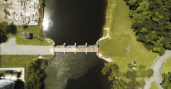
The South Florida Water Management District's Tidal Outlook for the forecast period of October 23 through October 30, 2023, is now available.

- Home
- news events
- news
Latest News
Category:

Join the South Florida Water Management District (SFWMD) and the U.S. Army Corps of Engineers, Jacksonville District (USACE) for a meeting to discuss the project evaluation criteria for the Central and Southern Florida (C&SF) Flood Resiliency Study.
Category:

The new 2023 Biscayne Bay Economic Study released by Miami-Dade County and the South Florida Water Management District (SFWMD), highlights the important link between the environment and the economy in Miami-Dade County.
Category:
The South Florida Water Management District's Tidal Outlook for the forecast period of October 16 through October 23, 2023, is now available.