DYK: Exec. Order 23-06 and What it Means for Everglades Restoration
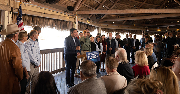
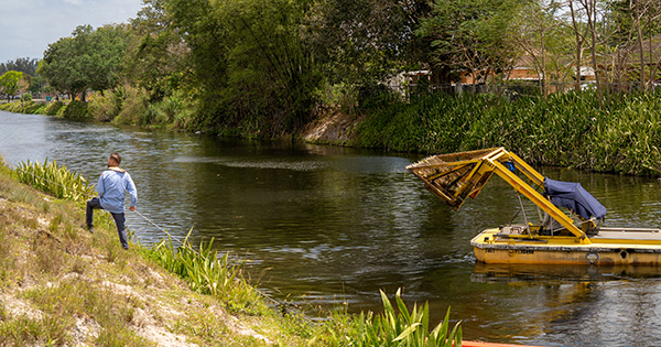
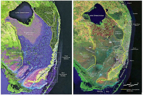
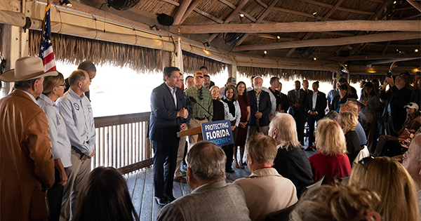
A new Executive Order signed by Governor Ron DeSantis builds on the momentum for environmental protection in Florida and brings additional resources to accelerate Everglades restoration and water quality projects.