DYK: Celebrating Everglades Day!
In celebration of Everglades Day, we are highlighting the beauty of America’s largest subtropical wilderness.
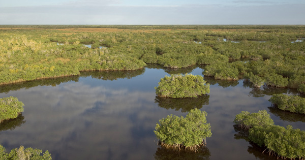
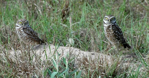
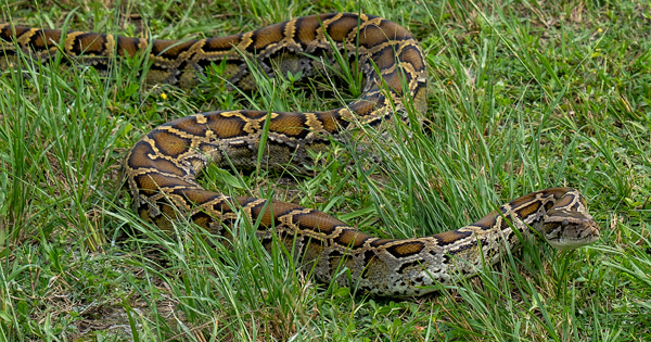
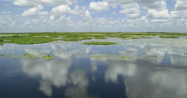
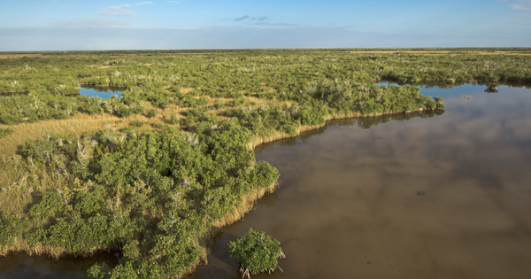
DID YOU KNOW: America’s Everglades is a one-of-a-kind ecosystem that exists nowhere else in the world.
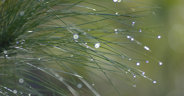
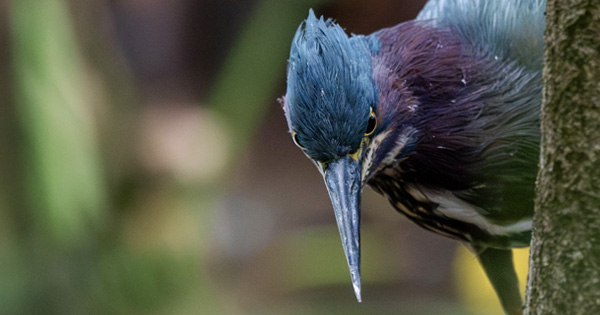
SUBTROPICAL WILDERNESS: This iconic River of Grass is a mosaic of sawgrass marshes, freshwater wetlands, prairies and forested uplands that support a rich plant and wildlife community. The mix of salt and fresh water makes it the only place on Earth where alligators and crocodiles exist side by side.