Flood Control
Preparing Year-Round
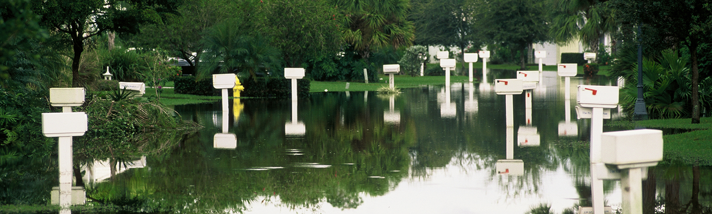
If you haven't lived in Florida for long, you may not know that our climate has two seasons: wet and dry. Flood and drought are frequent visitors, the result of too much or too little rain. In any year, drought can happen during the wet season, and flooding can occur when we least expect a downpour. Weather in South Florida has a way of ignoring the calendar and expectations of "normal."
A Shared Responsibility
The South Florida Water Management District operates and maintains the regional water management system known as the Central and Southern Florida Project, which was authorized by Congress more than 75 years ago to protect residents and businesses from floods and droughts. This primary system of canals and natural waterways connects to community drainage districts and hundreds of smaller neighborhood systems to effectively manage floodwaters during heavy rain.
As a result of this interconnected drainage system, flood control in South Florida is a shared responsibility between the District, county and city governments, local drainage districts, homeowners associations and residents.
Flood Resiliency Data
The South Florida Flood Information Resource consolidates and centralizes regional flood observation data and historical event information and makes it accessible to local governments and the public.
The SFWMD’s flood observation survey allows resiliency partners to report local flood conditions. It provides real-time insights to water managers, supports monitoring and documentation of emerging flood conditions and trends, and informs resiliency adaptation planning. The latest training materials are here: Flood Survey and High Water Mark Training.
This survey is used by agencies to better understand flooding conditions in Central and Southern Florida. This survey does not replace the need to contact your local drainage operator. All flooding that poses a risk to your home or property should also be reported to your local drainage operator. Life-threatening flooding should always be reported to 9-1-1.
Visit SFWMD.gov/ResiliencyandFloodProtection
Notice of Rule Development for the Vegetation and Debris Management Rule
DRAFT LANGUAGE:
The South Florida Water Management District (District) has initiated rulemaking to establish new rules to require water management system owners, including special districts, that connect to or make use of the Central and Southern Florida Flood Control Project (C&SF system) or other Works of the District to take actions to prevent aquatic vegetation, trash and other debris from entering the C&SF system or other District Works.
Vegetation and Debris Management Rule DRAFT 2023-01-13
Vegetation and Debris Management Rule DRAFT 2023-04-20
PRESENTATION:
Notice of Proposed Rule
Related Content
- Crying Cow Report [PDF]
- Learn More About Water Management Infrastructure in South Florida
- [INFOGRAPHIC] Rain Drain: What to expect in your neighborhood when it rains [PDF]
- Keeping Canals Clear [PDF]
- FAQs – What to Expect in the Rainy Season [PDF]
- Managing Every Drop [PDF]
- Administrando Cada Gota [PDF] – Spanish version
- Managing Flood Water: Before and After the Storm [PDF]
- Managing Flood Water: Before and After the Storm – Presentation [PDF]
- How SFWMD Manages Levees in South Florida - Presentation [PDF]
Operations and Maintenance staff at the South Florida Water Management District serve our region from eight Field Stations as well as from our Headquarters in West Palm Beach. Field Station staff are who you are most likely to see in your community, working every day to make sure the regional water management system operates smoothly and efficiently to provide flood control and protect regional water supplies.
Throughout the year, Operations and Maintenance staff oversee more than 2,175 miles of canals, 2,130 miles of levees/berms, 936 water control structures, 620 project culverts and 98 pump stations. They operate and maintain all the equipment, and they have the specialized expertise needed to keep this vast water management system ready for whatever nature sends our way, whether that's a typical summer rainstorm, a hurricane or drought. Moving water to meet varying conditions and needs is essential to sustaining South Florida's people, economy and our environment.
Map: Contacts for Water Control Districts and Local Governments
Local (secondary) canal systems in South Florida are maintained and operated by cities, counties and water control districts – also known as 298 districts for the chapter of Florida Statutes that outlines their responsibilities. These secondary canal systems receive water from neighborhoods and store excess water or move it to the regional flood control system managed by the South Florida Water Management District.
More than 100 water control districts and local governments operate secondary canal systems within the SFWMD's 16-county region. To see which entity is responsible for the secondary system where you live, type your address into the search bar on the map below. You can find contact information and more details in the Near Me box or by clicking directly on the map.
* NOTE TO MOBILE USERS: For a mobile-friendly version of this map, please click here.