
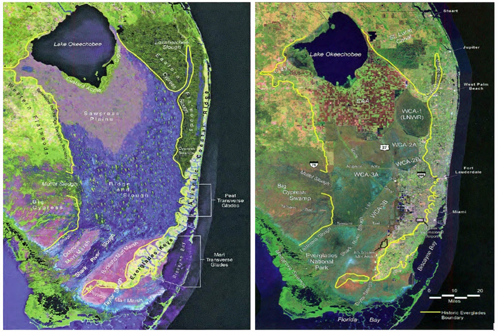
Geospatial/Geographic Information Systems (GIS)
The South Florida Water Management District utilizes the following tools and websites to administer our mapping and spatial data library, which allows you to explore our data, develop your own custom maps, conduct analysis and download spatial data.
If you are prompted to sign in, please clear your browser cache and try again. Sign-in is not required.
Featured Map Gallery
>>mapgallery.sfwmd.gov

Geospatial Open Data Portal
Our Open Data site is where our publicly available spatial datasets can be viewed and downloaded. Additional Web Apps and Story Maps are featured to explore and learn more about the data.
>>geodata.sfwmd.gov
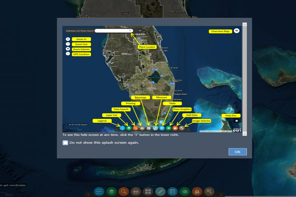
Quick Maps App
The Quick Maps application provides access to many SFWMD spatial datasets where you can also perform searches and analysis, create custom maps, and more. Click the INFO button in the app to learn more about the available features.
>>maps.sfwmd.gov
SFWMD Water Management Infrastructure Brochure Map
The SFWMD’s Water Management Infrastructure Brochure features a detailed map of the regional water management system in Central and Southern Florida, along with key information about recreational opportunities and navigational locks throughout the SFWMD’s 16-county region. To request a printed copy, visit us at our Headquarters Complex in West Palm Beach at 3301 Gun Club Road, West Palm Beach, FL 33406 or at one of our field locations.
For more information regarding SFWMD GIS data send emails to gisdata@sfwmd.gov