Real-Time Data
To view the units of measurement and abbreviations please see the User Guide.NOTE: The values shown below are displayed in Eastern Standard Time (EST).
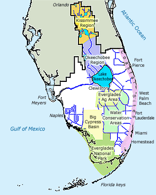
Click here to view the Hydrologic and Meteorologic Monitoring locations maps.
• Rainfall Data - Check Sites & Basins - Daily, Monthly, Season or Year
“Real-time” data is for the public's general informational purposes only and is considered provisional until it undergoes the South Florida Water Management District's Quality Assurance and Quality Control (QA/QC) process and subsequently posted on DBHYDRO as "Archived." The District, therefore, makes no representations or warranties of any kind, express or implied, about the completeness, accuracy, reliability, suitability or availability with respect to web-based real-time data for any purpose. Any reliance you place on the real-time data is therefore strictly at your own risk.

Information posted on these pages represents data provided through the DISTRICT's telemetry and remote sensing technologies. Regional areas are grouped according to operational responsibility as well as areas of specific interest. Upstream and downstream water levels are provided for water control structures. Pump station activity is recorded by a specific pump in terms of its revolutions per minute (RPM) value. Gated structures are described as opening in feet by the specific gate. Flashboard bays are identified in terms of elevation in feet - NGVD National Geodetic Vertical Datum.
Stage information is posted for independent surface water sites in terms of feet, NGVD. Site recordings are also consolidated as State information. (i.e. "3 Pumps On@750rpm" "All Gates Closed" "Average Bay Elevation=1.5")
Coastal sites reflect water levels on the inland and coastal sides rather than in upstream, downstream terms.